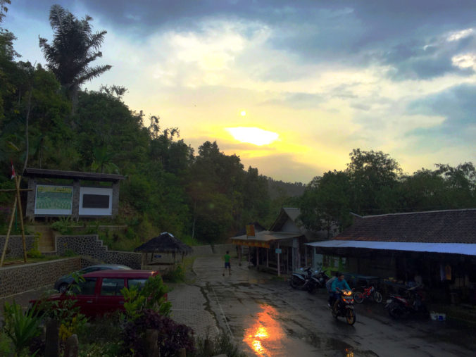
A glimpse of ancient Indonesia. It is just hours away from its most modern metropolis.
Borobudur. Kuta. Keraton. Bunaken. These are familiar names for all Indonesians. They are amazing places that invite us to come and have wonderful experiences. But Gunung Padang? Only a few people are familiar with it. Many even think that it is a mountain near the City of Padang in West Sumatera (“gunung” means mountain). Many of my fellow Jakartans frowned at the idea of traveling there (they would respond: too far away, I have no vacation days left, it’s expensive, etc.)
The truth is, Gunung Padang is not that far away from Jakarta. It can be visited in a one-day trip and obviously, won’t need that much money to enjoy and explore. When Jakartans take a trip to the heavily-visited holiday destination of Puncak, they don’t realize that they are actually halfway to Gunung Padang.
And, there I was, in Puncak Pass Resort, a beautiful hotel built nearly a century ago in the apex of Puncak highland area, deciding whether to continue my journey to Gunung Padang or to just kick back and relax in this lovely resort. The sky was gloomy; raindrops began to fall on the lush greenery. But, it was still mid-day, the wind might blew the clouds away and give way to a beautiful afternoon. It is not every day that I come to this point. Gunung Padang is just a mere two-hour drive away. I have always wanted to go there.
But, why all the fuss about Gunung Padang? Indonesia has plenty of mountains and a lot more tourism spots. Why this particular mountain?
Gunung Padang is unlike other destinations. It is not just any mountain. People don’t go there for its scenery, to buy rare handicrafts, or for the unique tradition of its villagers. Gunung Padang is a megalithic site. Think about Stonehenge and you’ll get the idea! Well, perhaps smaller in scale, but it is here in Java. It is just a few hours south of the huge metropolis of Jakarta and stand proudly between two busy West Javanese cities of Cianjur and Sukabumi.
The site is believed to be older than the Temple of Borobudur or any stone tablets and kingdoms that we learned about in school. This discovery could probably extend the historical period of Indonesia by a few hundred years, maybe a few thousands. It is an interesting idea for a history buff like me.
So I took a chance. The rain seemed to have stopped, although the sky remained cloudy. The prospect of spending a beautiful sunset with ancient stone relics was just too strong to resist. I drove south from Puncak, passed the Presidential Palace in Cipanas, and followed the only major thoroughfare in the area toward the City of Cianjur.
Entering Cianjur, we’ll found a small roundabout, this is the first major intersection in the road down from Puncak. At this point we have to turn right and take the provincial road that connects Cianjur with Sukabumi. However, traffic jam regularly occurs in this roundabout that the authority has to direct the traffic leftward. I turned left, took a U-turn a few hundred meters later, and head toward Sukabumi. From this point, Gunung Padang is around 29 km away. At least that’s what the app in my iPhone told me.
This main road connects two large cities (together, the city and regencies of Cianjur and Sukabumi hold more than 5 million people). It was busy, with many vehicles passing and many shops and restaurants on both sides of the road. I have never drove through this road before and pretty worried whether I could easily spot the correct turn to Gunung Padang. It was unnecassary, the road signage was large and clear. Next to it was a large and bright Indomaret store outlet, clearly trying to capitalize on the travelers going to Gunung Padang.
I turned left and entered a smaller road. Not a moment too soon, I was faced with a road construction. I began to wonder whether the remaining journey would be smooth or rough. Again, it was an unnecessary concern because the roadwork was mostly good. However, there were occasional potholes that make continuously questioned my decision to use a sedan on this trip. Traffic was scarce: only some motorbikes, medium-sized trucks, and MPVs—not a single sedan in sight.
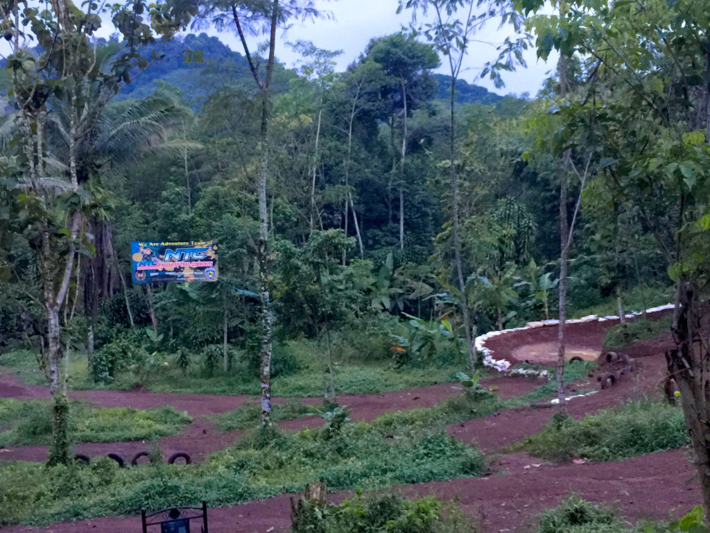
This small and winding road took me through various small villages. There weren’t that many people along the way, maybe the gloomy weather forced them to stay home. Shops and other commercial activities were also lacking, although, much to my surprise, there was a track for motocross (or known in Indonesia as motor trail). Agriculture is the most obvious economic activities, especially rice farming, mostly by small farmers. There were glimpses of large buildings, producing/planting I don’t know what, they were too far away for me to see.
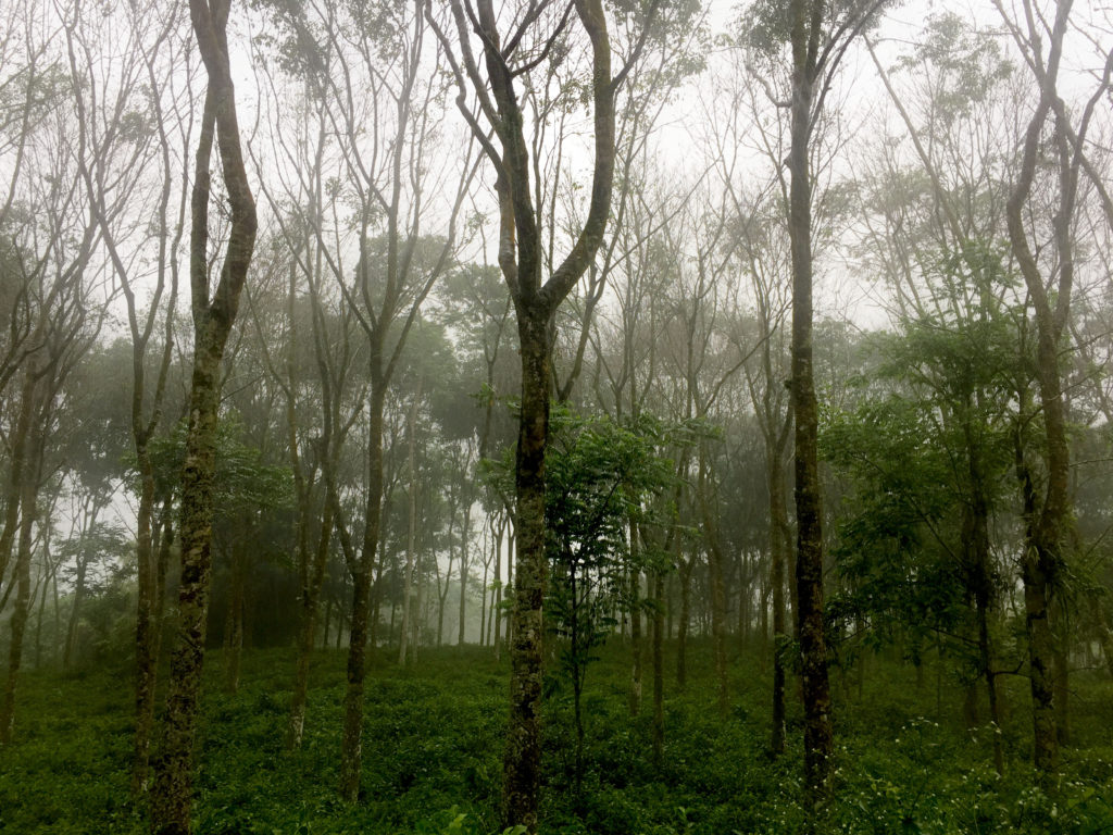
The road cut through a wood, with tall trees that seemed older than most people living in the area. They were so lush and leafy above me that it felt like I was driving through a tunnel. As soon as I passed them, I returned to another landscape. Rice paddies that stretch far to the foothills of nearby mountain, disrupted only by rows of trees. Rolling hills and valleys decorated with patches of rice terraces and bamboo groves, small streams and farmers’ huts. It is a typical view along Java’s countryside, but the scenery I loved the most.

The air turned colder as the road took me higher up the mountain, but also because the rain started to fall again. The road soon split in two. There was a road-sign before it. One pointed to Gunung Padang, the other one to Perkebunan Gunung Manik. Perkebunan (plantation)?? It has become clearer now, why the road is relatively good, there is a plantation up here. And just a few minutes later, I saw another surprise just across the valley on my left: a rail track!! Is it real, I thought. At this place, can’t be.
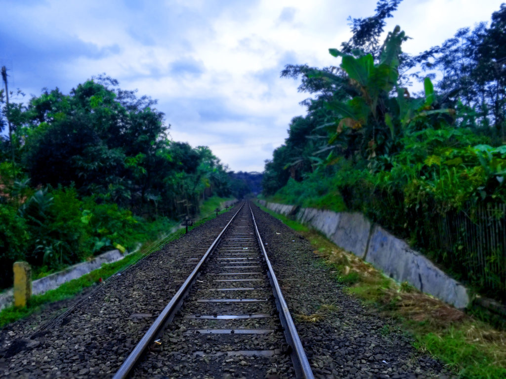
A few minutes after that, the road crossed the rail track. It was not a mirage. It was also not the remains of colonial-era railroad, unused for decades. It was a functioning one. I looked left and right, wondering where this railroad could take me. A few moments later, the question was answered, at least partially. The road sign points to a train station—Stasiun Lampegan—just 1 km away. I didn’t have the chance to see it, though, because the road to Gunung Padang took a different turn.
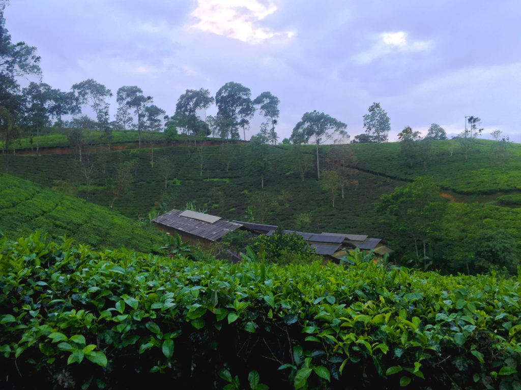
Not long after, houses and bigger trees began to disappear, giving way to a single crop that seemed to be the main cash provider to the area: tea. The hills were covered with tea plants and the road meander through this landscape for a few kilometers. There were no houses or big buildings around, only some simple shelters, perhaps built for plantation workers, but at that moment were used by motorbike riders sheltering from the pouring rain and some couples seeking private moments.
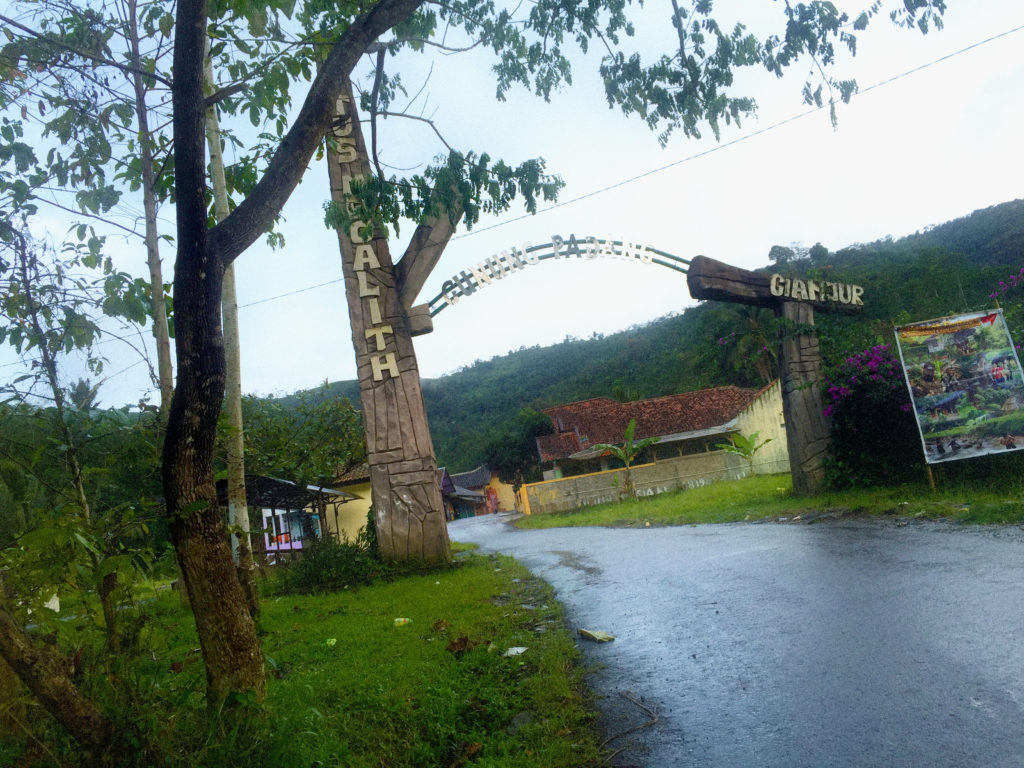
After a while, I arrived at a gate marking the beginning of the Gunung Padang Megalithic Site. Beyond this point, there was no tea plants anymore, but there were parking areas and shops, typical of a tourism area, and also village houses. It seemed that the tea plantation surrounds this village, while the village serves as guardian and gateway to the historic site.
Large plantation, paved road and a train station. Gunung Padang was not as remote and secluded as I thought. Even during the whole journey, my two smartphones (yes, I have two of them, each running on different GSM operators) kept on receiving social media feeds and chat messages. And one more disclosure, one reason I did not get lost was that my phone app could guide me quite accurately to the location. Well done GPS and telcos!
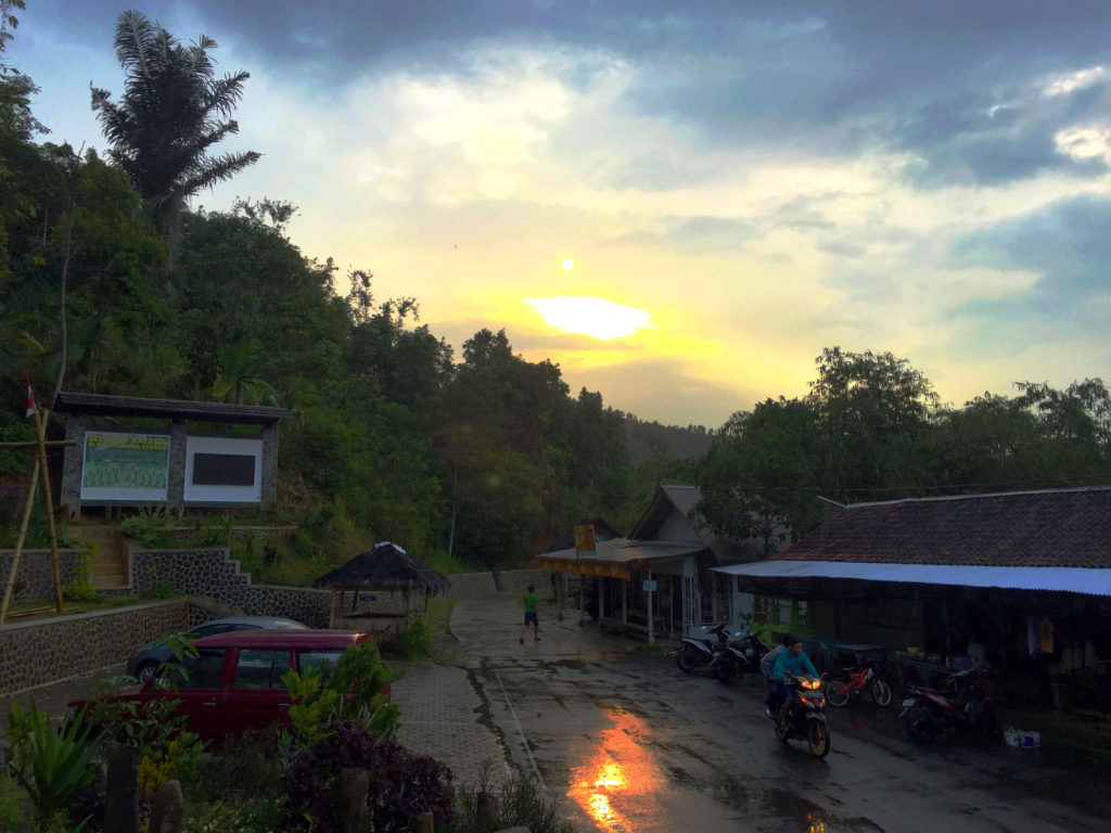
I parked my car near the tourism office. My small Toyota Vios has managed to pass a tough challenge. The rain was still pouring, although not as hard. There were some motorbikes nearby, their owners sitting in the small warungs lining in front of the parking lot. They were perhaps disappointed that the rain prevented them from enjoying their visits to the site.
Refusing to just sit and whine, I walked up to a small gazebo next to the parking lot. It was used for bikers to keep their helmets while they explore the site. Two young men were sitting there. They were having a lively conversation while rolling their own cigarettes from tobacco bought in the city. I joined in, asking them about the megalithic site, the village and the railroad. The railroad, they explained, connects Sukabumi and Cianjur. It was damaged for a time, but has been repaired. SBY (as Indonesia’s previous president is popularly called) has even taken one ride on the train route.
Next, I walked up to the tourism office, hoping that there were some brochures there or perhaps an official that could tell me some interesting stories. And there was.
He introduced himself as Yuda. He was born and lived in the village and was one of the caretakers of the megalithic site. As it turned out, he was born in the 1980, just around the time the site was rediscovered and a team of experts was dispatched to clear and excavate. The process was disturbed by the eruption of the nearby Mount Galunggung in 1981, but was completed and publicized in 1987.
The earliest known mention of Gunung Padang Megalithic Site was by a Dutch researcher in 1914, but nothing much happen afterward. It was rediscovered and reported to Indonesia’s Ministry of Education and Culture in 1979 by three local farmers, Endi, Soma and Abidin. The name Gunung Padang, however, is a more recent naming of the place. The word “padang” is used because it means “bright,” and in no way related to the city with the same name.
Why bright? Yuda told me about the various theories about it. Some people said that at night there was some kind of light burning on top of the mountain. Other people explained that during a clear and bright day, one could stand at the top and see five mountain peaks (Batu/Arcadomas, Pasor Pogor, Kencana, Gede and Pangrango) lining in a single file. Some others refer to how the mountain was used by many people, especially those faced with life’s problems, to seek clarity and enlightenment by meditating and seeking guidance from the Almighty.
Yuda also explained that the number five also has a peculiar relationship with Gunung Padang. First of all, nearly every stone found in the site was pentagonal in shape. Secondly, the hill that is Gunung Padang is a step-pyramid (natural pyramid, there was no evidence that the shape is man-made) with 5 stages. Each of the ladders connecting each stage is also made of five steps. And, Gunung Padang is surrounded by five peaks/hills: Karuhun, Batu, Pasir Malang, Keramat, and Pasir Empet.
The rain has stopped, but I feel that it is too late in the afternoon for me to climb the mountain. I wouldn’t want to drive home alone in a dark mountain road. So Yuda concluded our chat with a question, something that he has been pondering for a while. The word “gunung” means “mountain” and used for a large and tall landform, while “pasir” is used for smaller ones, a hill. However, Gunung Padang and Gunung Batu are actually smaller than Pasir Empet and Pasir Pogor. And another thing, Gunung Batu (batu means rock or stone) is actually stone-less. Gunung Padang has all the stones.
With all those mysteries whirling in my mind, I drove back to Puncak. By the time I reached the main road, houses have already turned on their lights and its residents have gone to mosques for afternoon prayers.
The visit to Gunung Padang was too short and felt incomplete. I made a promise to myself to return in the near future. There are still so much to see, so much to learn.
